Exploration
GTA 6 Grassrivers Map: Marshes, Docks and Airboats
Quick answer
Grassrivers is Leonida's marsh and waterway region. Start with the named visitor center and bridge on the Atlas for orientation. For a playable route through the wetlands, follow the Chapter 1 Donnie story objective to the dock and stilt shack, then use the marked water route.
Use the bridge and visitor center to orient a wetland trip
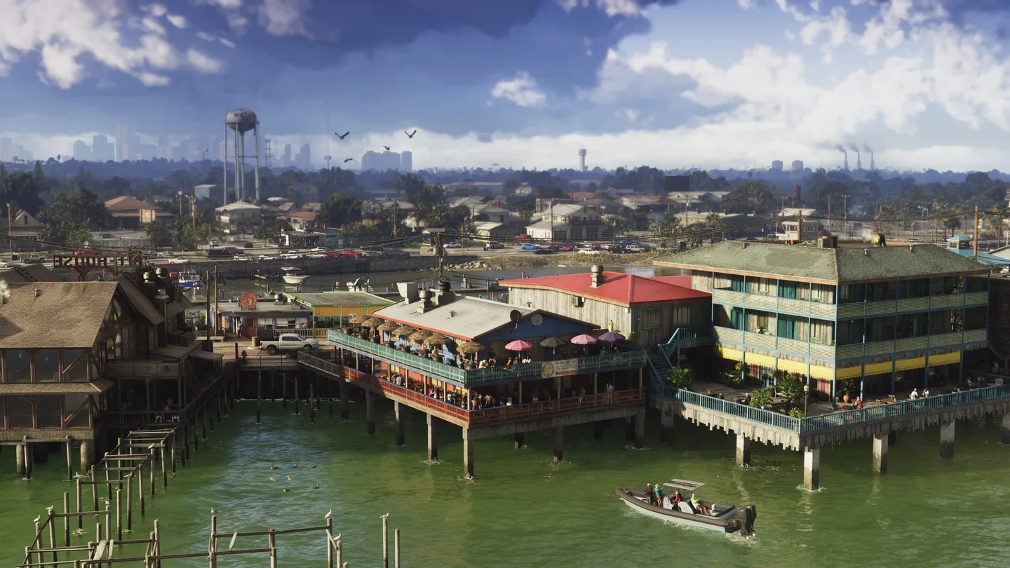
Grassrivers appears in Rockstar imagery as reeds, shallow channels and structures on stilts. A building visible across the water may have its approach on another bank. Use the Grassrivers Visitor Center and bridge pins in the Atlas to establish which part of the marsh you're looking at, then inspect your position and objective in the game.
If you're traveling by car, set your waypoint on the road-accessible side of the next landmark. If the objective takes you down a channel, check for a boat at the marked dock. The two Atlas reference pins indicate community locations and may sit away from the game's active prompts.
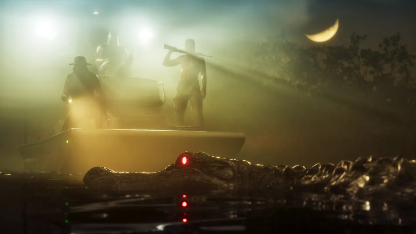
Try the water route during the early Donnie objective
Clean Up After Donnie begins with a pink search area. The walkthrough documents a dock and a fisherman who points you toward the stilt shack further down the channel. Follow the game's marker from the dock instead of looking for a road up to the shack.
Once the objective sends you back from the shack, the firsthand mission capture shows the Airgator Airboat 09 moored off its boardwalk. Use the mission's own prompts to locate it. A free-roam pass through the same area can have different boats or markers.
Decide which wetlands stops belong on your route
Stay with the game's active objective if you're still in a story mission. If you're exploring freely, start from a named shore landmark and make the water crossing into a separate leg. Use daylight for a first look at the banks and recheck the map at branching channels. The named bridge is a better return reference than a patch of reeds.
Landmarks on the Leonida map
Pins show estimated positions for named landmarks. Follow the guide steps to find the exact objective in the game.
Use the map to explore approximate community positions.
- Start with the visitor center when planning travel into the wetlands.
- The bridge is a useful road reference before switching to local map markers.
Frequently asked questions
Where can I see an airboat in GTA 6's early story?
Clean Up After Donnie includes a documented airboat by a stilt shack. Check the boardwalk after completing the shack objective.
Can I use the Grassrivers bridge pin as the mission start?
Use it for orientation. Start a story objective from its marker in the game.